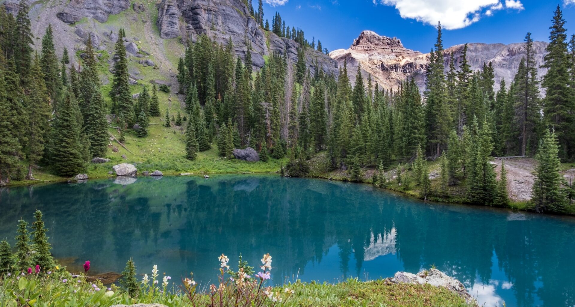
Ouray, Colorado is known as the “Switzerland of America” for its pure beauty and unparalleled alpine splendor and is often referred to as such by visitors. Ouray, Colorado, is conveniently adjacent to several of the state’s best hikes. Large peaks and dense evergreen forests surround the city.
The San Juan Mountains, which can be viewed in every direction from Ouray, make it a prime trekking destination. The following is a list of locally approved hiking trails to assist you in getting started if you’re unsure where to go. Whether you’re looking for spectacular views or tranquil waterfalls, these three trails in Ouray will likely satisfy your wanderlust. Put on your hiking boots and prepare lunch because Buck and RaeLynn are taking you on a hike through a beautiful part of Colorado.
Upper Cascade Falls Trail
Upper Cascade Falls can be reached by a trail at the top of the Amphitheater Campground’s tiny parking lot (see driving directions below). Keep going straight for 0.2 miles until you reach a trail intersection. Follow the signs for the Upper Cascade Falls Trail and the Chief Ouray Mine by taking a left at the fork. Hikers can turn right onto the Portland Trail to complete a larger loop.
Just over half a mile from the trailhead, you’ll reach a second intersection after ascending through scrub oaks and mixed conifers. Follow the signs for the Chief Ouray Mine and stay on the Upper Cascade trail. The left-hand path is steeped to the Lower Cascade Falls and the campground. Views of Potosi Peak and Hayden Mountain to the west and southwest can be seen from this point on the hike.
The incline becomes more severe after the fork. The carved walls of the amphitheater that encircle the basin’s eastern edge can be glimpsed through the trees at specific points. After a quarter of a mile, you’ll come to a second fork leading right to the Portland Trail. We make a sharp left and head for the Chief Ouray Mine.
The path now winds steeply up a dry slope, rising over 1,100 feet in elevation in a little under a mile. Admire the amphitheater from a new vantage point at the top of the ascent. To the west and southwest, you can see Hayden Mountain and the peaks and ridges surrounding Potosi Peak.
The trail ascends a steep incline and then crosses a ridge at the top of a rocky ledge. Views of Twin Peaks and the Sneffels range to the west, and the town of Ouray, 2,300 feet below, can be seen from several vantage spots along the trail.
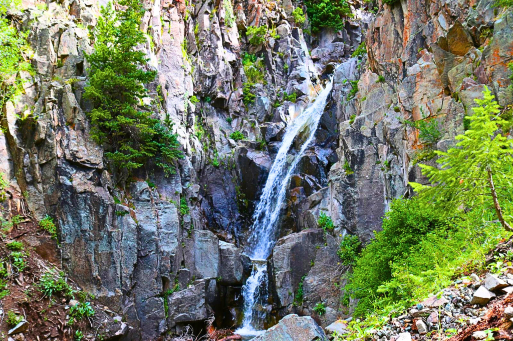
The path descends through the woods for a quarter of a mile before bending to the northeast (right) and crossing the creek at Upper Cascade Falls. There are breaks in the trees where you can see the Chief Ouray bunkhouse across the drainage. The bunkhouse is a blue metal structure.
One is above the trail, and the other is below it. The trail passes under a waterfall, but you hear it.
After taking in the tranquil scenery near the waterfalls, you can either head back the way you came or continue for another 0.2 miles to reach the mine complex. If you have a phobia of heights, you shouldn’t hike this part of the trail.